Geometry export
Purpose
The purpose of the geometry export is to provide all the geospatial information available on GeoPoDe for download. Individual layers can be exported in various formats. The following export formats are supported: ESRI FileGDB, Shapefile, CSV, SQLite, GeoJSON, GML, KML. The export may take some time to be generated. Once generated, an email will be sent to the provided email address.
Step-by-step guide
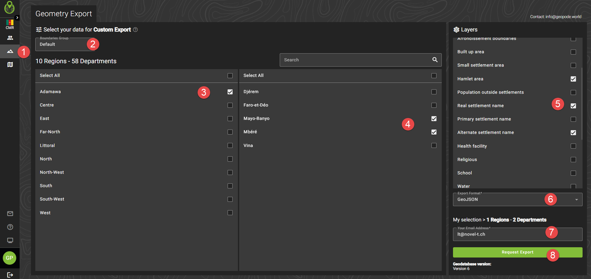
Navigate to ‘Geometry Export’
If applicable, choose which boundary type you want to export geometry for
Choose the first level admin / health boundaries you want to export geometry for
Choose the second level admin / health boundaries you want to export geometry for
Choose the layers you want to export - note, in this step the layers might have a suffix depending on the boundary type you selected in the previous step
Enter your email, if not already populated
Press the request export button
Once you receive the email, click the link sent in the email to download your export

Notes about the export
Important
Shapefiles have a size limit of 2GB as described here: https://en.wikipedia.org/wiki/Shapefile#Data_storage Thus, it is advised to use another format when exporting data that might exceed this size.
Population values
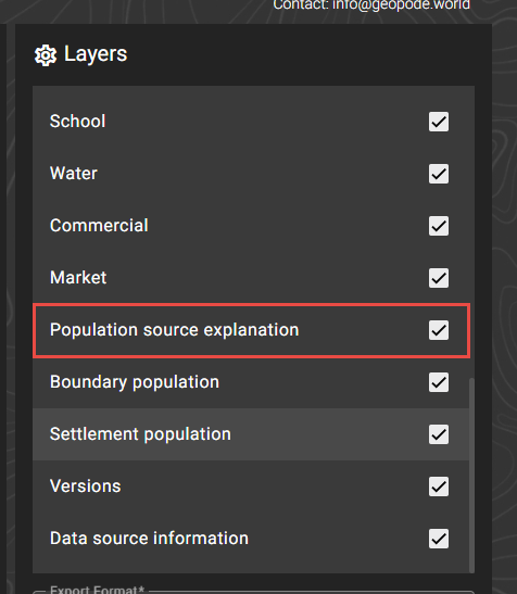
Settlement layers will contain population values if available. If there are multiple population sources, there is a legend for that in the ‘Population source explanation’ layer.

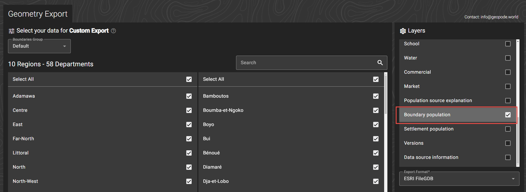
Furthermore, you can export a layer containing all settlement population information:

This export will give an entire table of all settlements with their population, split up by population source, gender and age groups.
Important
If you don’t need this information, do not export it, as the file is typically large and it will delay your export.

A similar file can be obtained by boundary.

POS (Population Outside Settlements)
See also POS
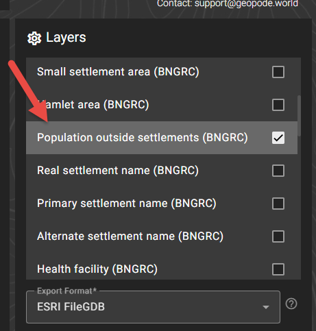
To export all of the POS, select the corresponding layer:
In the export, you will get a vector layer. Because POS are essentially another settlement class, they have similar attributes as settlements:
They can have a name (if a name intersects the POS polygon - see Settlement names)
They are always linked to a population source - see POS
They have a population value coming from that source
Important
Because POS are a derivative of a population raster, they are always square shapes.
Settlement names
See Settlement names
Real settlement name: The settlement point layer that was used to name settlement polygons (though, only names that intersect polygons are exported)
Primary settlement name: Following the settlement naming rules, these are the primary name points
Alternate settlement name: Following the settlement naming rules, this layer contains the alternate names (ie when there is more than one settlement point per polygon)

