Release Notes
[6.6] - 2025-04-24
Fixed
Map speed was significantly improved
Password validation upon registration shows validation rules
Tooltips and help buttons were harmonized across the app
Large population exports are now handled on different sheets to circumvent repeated excel row limit issues
Security
Upgraded our dependencies to their latest secure released version.
[6.5] - 2024-12-16
Added
OSM data is separated out and can be fetched remotely (though a user cannot update the data yet, it’s still an administrator task)
Changed
Moved these release notes to the Keep A Changelog format.
The health facilities are split into different layers (ie. outside of country / outside of settlements / on water layers)
The geometry and population export pages were reworked for a smoother user experience and the search was improved
Fixed
Fixed a lot of issues in the whole application, notably export exception handling
Security
Upgraded our dependencies to their latest secure released version.
v6.4
Major improvements
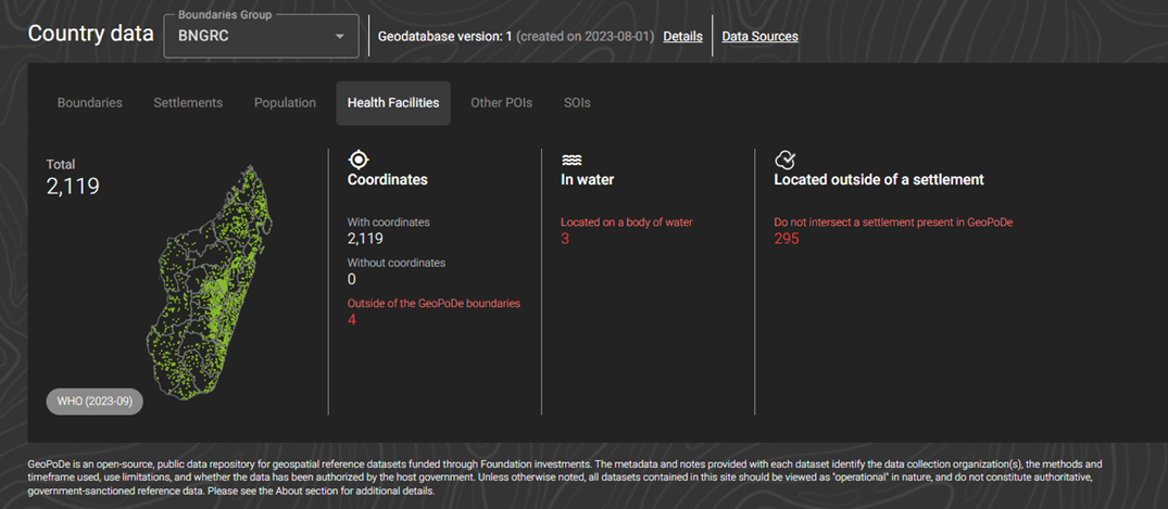
The country summary supports quality statistics: gaps/overlaps for boundaries, settlements with 0 population, population outside of settlements, POIs without coordinates and/or outside of the geopode boundaries, health facilities located on water or not intersecting a geopode settlement
The country summary supports several boundaries and population sources
Health facilities have now a dedicated section both on the country stats and on the map (including for health facilities outside the country, outside settlements and on body of water)
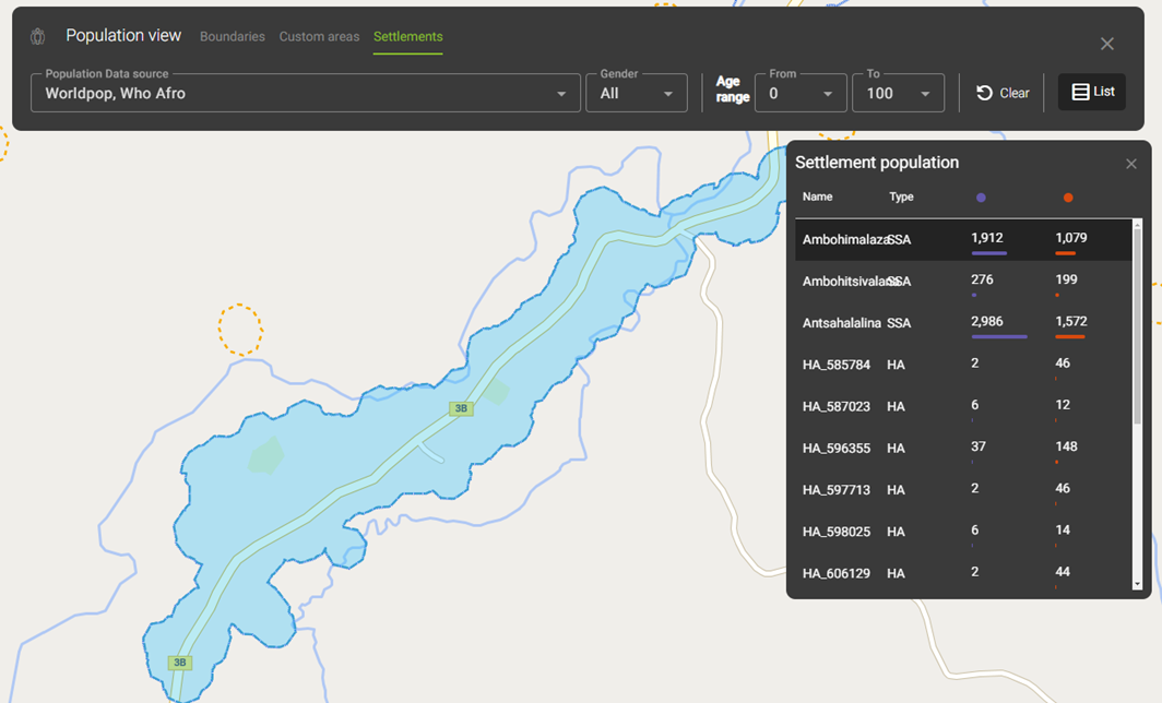
Population for settlements is now availabe from the map view
Updated Countries
Countries updated with new data and migrated to version 6:
Ethiopia (ETH)
Democratic Republic of the Congo (COD)
Nigeria (NGA)
Minor improvements
Improved the export robustness
Enable paging for WFS version 2
Optimise GeoDataProcessing pipeline
Upgrade tech stack components
Fixes
Bugfix Country ‘New’ status
Bugfix map ‘Identify’ boundary group
Bugfix map print feature
Bugfix custom query export formatting
v6.3
Major changes
UI changes
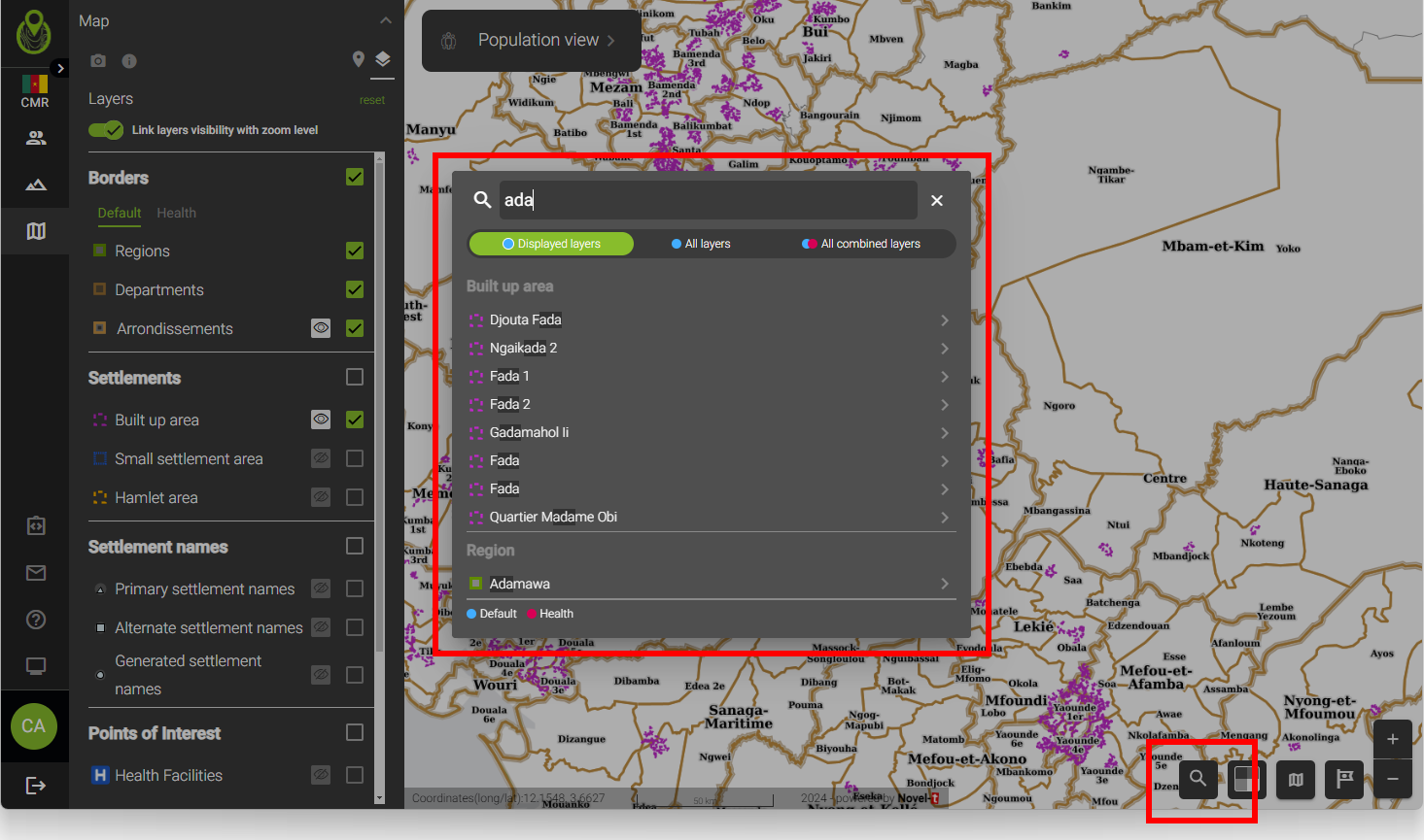
Search has been updated
The search has been reworked, as described in Search.
Other changes
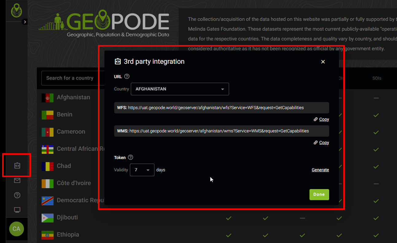
Integration with 3rd party tools.
Upgraded to GeoServer v2.25.
New process for managing Country data updates separately from WebApp code updates.
Minor changes
UI changes
New App Versioning policy to manage Major, Minor and Hotfix version numbers.
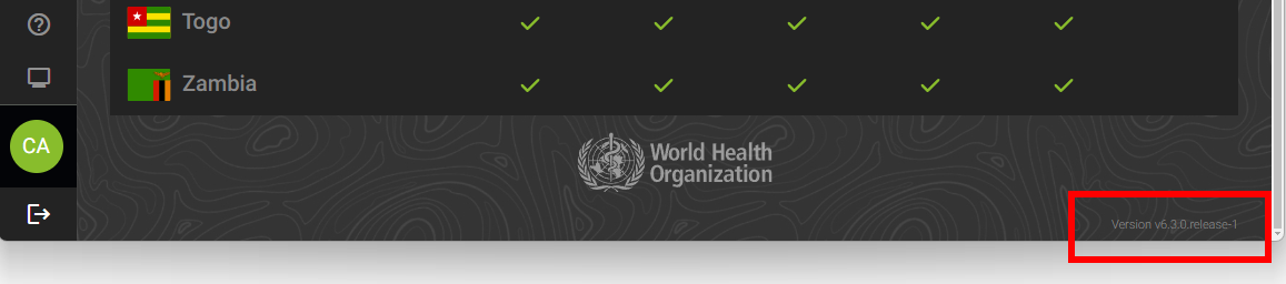
Web App version and build number shown in the footer.
Updated Countries
Countries migrated to db schema version 6:
Chad (TCD).
Republic of the Congo (COG).
Other changes
Enhanced data export processing.
Enhanced background tasks managing country resources.
Fixes
Fix missing population raster resource downloads.
Fix notifications in case of failed exports.
v6.2
Major changes
UI changes
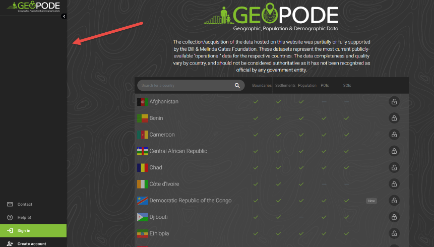
Landing page updated to be full screen
Custom query reprocessing
Custom queries can now be reprocessed with different demographic parameters (see Population tools).
The UI for all population tools has been improved
Other changes
If an export fails, users are notified via email that their export failed
Population exports are treated the same way as geometry exports now - an email to download the file is sent to the user requesting the export
Minor changes
UI changes
Emails have been harmonized
Exporting geometry as a shape file triggers a warning dialog about the shapefile size limitations
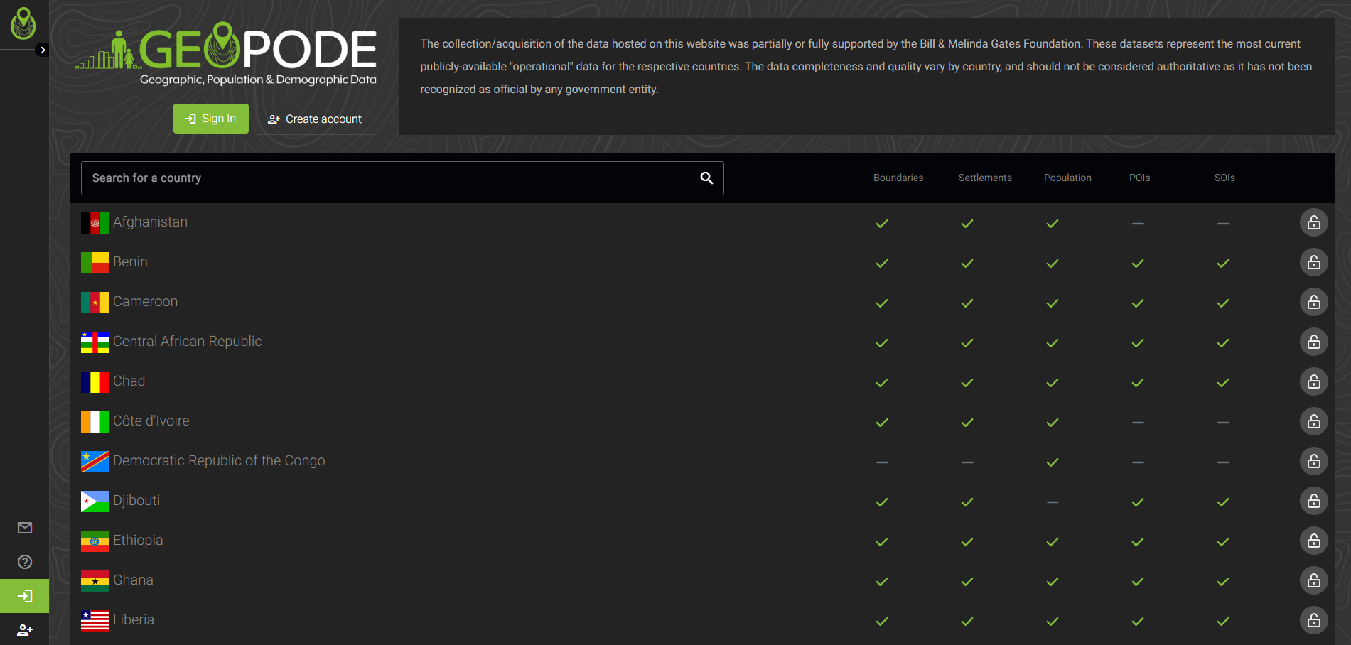
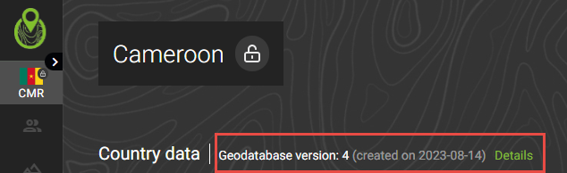
The database version info is shown for each country on the country landing page
v6.1
Major changes
UI changes
Navigation changed to be vertical instead of horizonal, uniformed layout
Minor changes
UI changes
Population export interface slightly adjusted
Geometry export and population export harmonized to make export request more clear
Fixes
population query window disappearance fixed
Known issues
Large population exports could fail due to file size limits for e-mails
Shapefile exports over 2GB fail due to limitations in that file format (https://en.wikipedia.org/wiki/Shapefile#Data_storage)
The above issues will be addressed in the upcoming release v6.2